Application Domains

Eight application domains.

SDR critical-asset monitoring — tethered drone over industrial infrastructure
— 01 / 08 —
ENERGY · UTILITIES · INFRASTRUCTURE

Critical-Asset
Monitoring

24/7 persistent surveillance · Refineries, substations, ports, perimeters

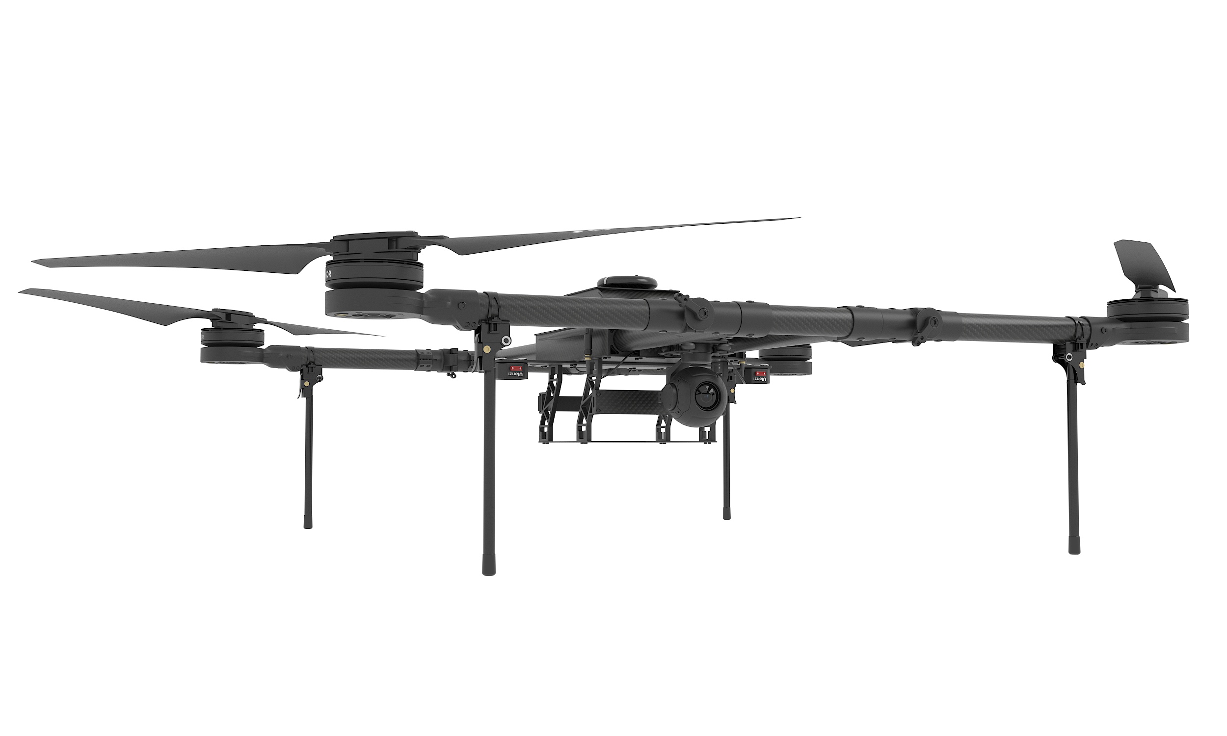
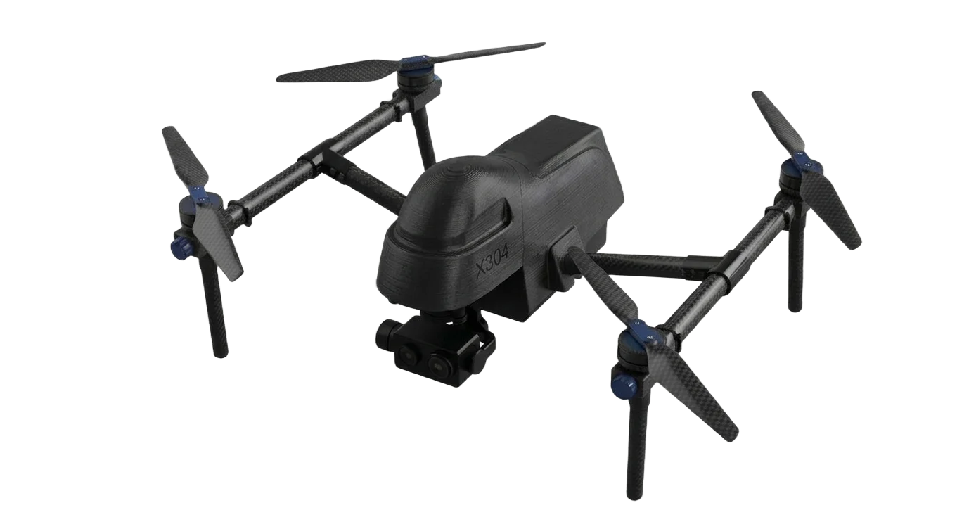
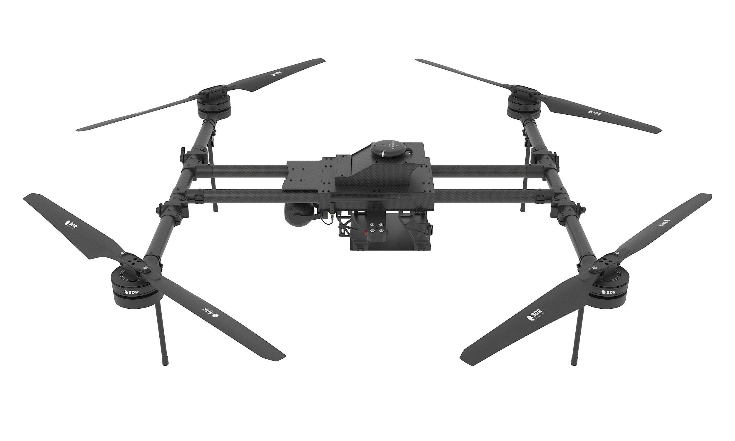
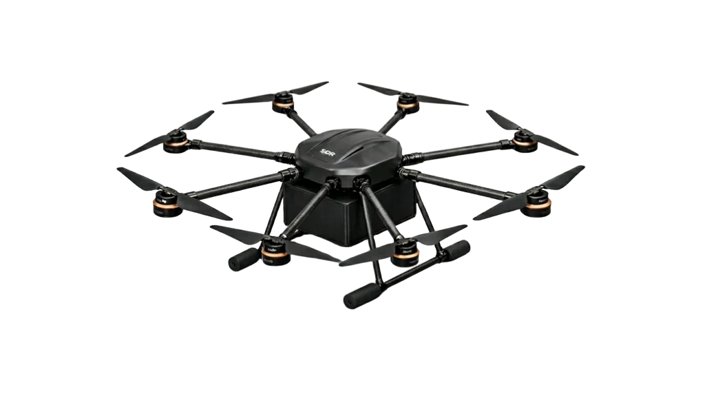
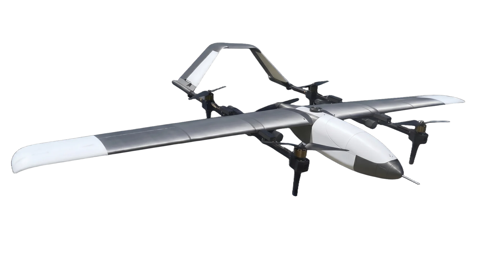
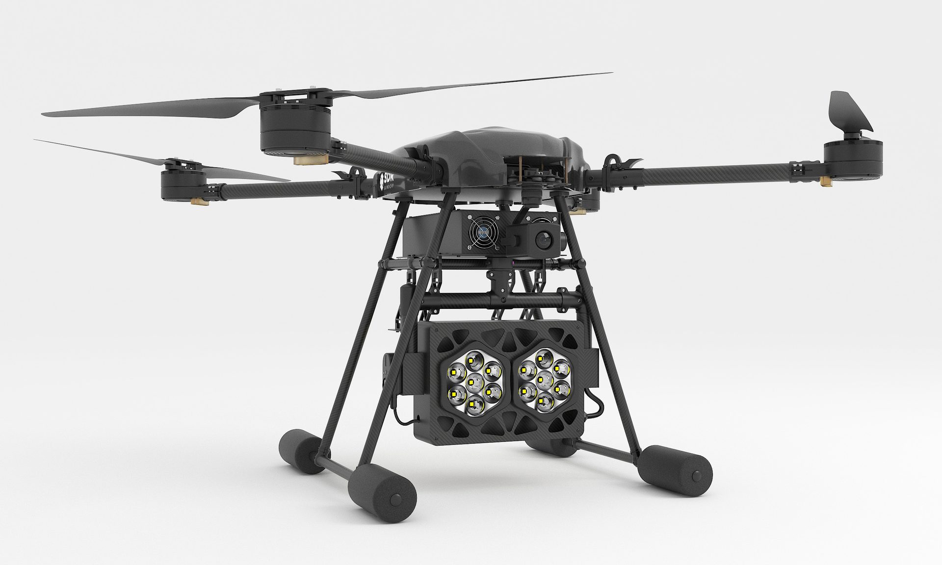
Tethered drones hold station 100 meters above critical assets, transmitting continuous high-resolution and thermal imagery over the same line that powers them — 24 hours a day, every day. Free-flight patrols sweep pipelines and perimeters between fixed posts, and an entire site fleet is coordinated from a single ground-control station. Deployed over refineries, transmission substations, port perimeters, and oil & gas facilities.

24/7 Operations Hybrid Tether / Free Flight Thermal + 4K Fleet Patrol
Coverage
24/7/365
Assets
Refinery · grid · port
Sensors
4K · Thermal · LiDAR
Endurance
24 hr tethered
Patrol
Site-wide fleet
Control
1 GCS
SDR forest and wildfire surveillance — long-endurance patrol drone
— 02 / 08 —
FORESTRY · FIRE WATCH · PREVENTION

Forest & Wildfire
Surveillance

Wide-area forest patrol · Early fire detection, day and night

Long-endurance patrol flights sweep forest ranges on pre-programmed routes, with EO/IR sensors picking up heat signatures and smoke plumes while a fire is still containable. Thermal detection works straight through darkness, and every detection downlinks to fire authorities in real time with coordinates. Through fire season, tethered overwatch posts keep continuous watch over high-risk ridgelines.

EO/IR Thermal Night Patrol Real-Time Downlink Pre-Programmed Routes
Detection
Heat · smoke signature
Coverage
Wide-area routes
Night ops
Thermal imaging
Alerting
Live coordinates
Endurance
Up to 10 hr (VTOL)
Posture
Fire-season watch
SDR agriculture — multi-drone smart-farm operations
— 03 / 08 —
AGRICULTURE · SMART FARM

Agriculture
Smart-Farm Operations

Multi-drone field operations · Spraying, sensing, yield mapping

Coordinated multi-airframe spraying, multispectral crop sensing, and yield mapping over wide field areas — all flown by a single pilot from one ground-control station. The system scales from individual farm parcels to regional agricultural cooperatives, and was featured by Korean public broadcaster KBS for multi-drone formation farming.

Field-Validated Multi-Drone Spray Multispectral KBS-Featured
Operation
Multi-drone
Mission
Spray · Sense · Survey
Control
1 GCS, multi-airframe
Sensors
Multispectral · RGB
Operators
Farms · co-ops
Reference
Korea · Jeungpyeong
SDR defense and tactical operations — reconnaissance and strike
— 04 / 08 —
DEFENSE · NATIONAL SECURITY

Defense & Tactical Operations

Tactical ISR · Precision strike · Swarm coordination

The same platforms that patrol industrial sites fly tactical missions — long-endurance reconnaissance with EO/IR, loitering strike, and swarm-coordinated operations under multi-drone control. SDR is the standard training platform across all five branches of the Korean armed forces, with payloads — not airframes — defining the mission.

Combat-Proven Lineage Swarm Control Encrypted Comms ISR + Strike
Adoption
All 5 ROK branches
Missions
ISR · strike · resupply
Control
MFS swarm, 1 GCS
Comms
KCMVP · FHSS
Range
Up to 140 km
Posture
In service
SDR search and rescue — rapid-deployment thermal search drone
— 05 / 08 —
PUBLIC SAFETY · SEARCH & RESCUE

Search & Rescue

Missing-person search · Thermal detection · Night operations

Squad-level drones deploy in minutes and search areas that would take ground teams days. Thermal imaging picks out body-heat signatures through darkness and undergrowth, the searchlight configuration turns a night search into day, and coordinated multi-drone sweeps cover lakeshores, mountainsides, and coastal zones under a single operator.

Thermal Search Searchlight Minutes to Launch Multi-Drone Sweep
Deployment
Minutes, squad-level
Detection
Thermal body-heat
Night ops
Searchlight payload
Coverage
Multi-drone sweep
Operators
Police · fire · rescue
Control
1 GCS
SDR disaster response — aerial situational awareness over incident zones
— 06 / 08 —
EMERGENCY MANAGEMENT · DISASTER RESPONSE

Disaster
Response

Situational awareness · Overwatch · Damage assessment

When floods, earthquakes, or industrial accidents cut off ground access, drones are the first eyes over the scene — streaming live imagery to incident command, mapping damage for assessment and recovery planning, and holding tethered overwatch above the response around the clock while operations continue below.

Live Command Feed 24h Overwatch Damage Mapping Rapid Deploy
First response
Live aerial feed
Overwatch
24 h tethered
Mapping
Photogrammetry
Scenes
Flood · quake · industrial
Relay
Incident command
Launch
Minutes on scene
SDR logistics and heavy-lift — cargo transport octocopter
— 07 / 08 —
LOGISTICS · TRANSPORT · AERIAL WORK

Logistics & Heavy-Lift

Heavy-payload transport · Resupply · Aerial work

Heavy-lift platforms move payloads up to 40 kg to places trucks and helicopters cannot economically reach — construction-site lifts, island and mountain resupply, and emergency delivery of medical or relief supplies. The same airframes carry inspection sensors for transmission lines, pipelines, and large-scale mapping and surveying.

40 kg Class Point-to-Point Remote Resupply Inspection Payloads
Payload
Up to 40 kg
Missions
Lift · resupply · delivery
Inspection
Pipeline · powerline
Mapping
Photogrammetry · LiDAR
Sites
Remote · island · mountain
Status
Production
SDR training and education — dedicated training platform and GCS curriculum
— 08 / 08 —
EDUCATION · TRAINING · CERTIFICATION

Training &
Education

Government-approved curriculum · Classroom to certified pilot

A complete training ecosystem — government-approved curriculum, dedicated training airframes, simulators, and GCS operator courses — has produced more than 10,000 certified pilots and serves as the standard training program across all five branches of the Korean armed forces. The same pipeline now trains industrial and public-safety operators.

10,000+ Pilots Government-Approved Simulator + Flight GCS Operator Course
Pilots trained
10,000+
Curriculum
Government-approved
Adoption
All 5 ROK branches
Scope
Sim · flight · GCS
Sectors
Defense · industry · civil
Format
Academy + field
Industrial & civil engagements

Operate at industrial scale.

For energy, utilities, agriculture, public safety, and infrastructure operators — request a deployment briefing for tethered persistent monitoring, multi-drone coordination, smart-farm operations, or distributed-manufacturing programs.